Bachelor in Surveying Engineering
High-tech profession in the field of geodata
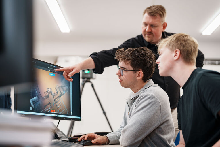
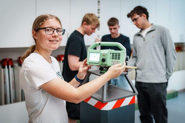
Without surveying, almost no large-scale project in the world would be possible. Whether it's your mobile phone, a construction site or traffic, every day you use (geo)data that comes from surveying. Even climate research cannot do without geodata. Are you interested in how state-of-the-art equipment is used to create map bases?
Are you wondering where a navigation device gets its reliable information from? Are you curious about how buildings or terrain are surveyed from the air or how laser technology is used to create 3D models? Then surveying has the answers for you.
We do not have an admission quota or tuition fees. We only charge a semester fee, which includes the Deutschland-Ticket.
You can find all the information you need about enrolment and deadlines here.
Study part-time while working
We offer this programme on a part-time basis. The standard period of study is nine semesters. All courses take place in the evenings or on Saturdays, allowing you to study alongside your job. We do not charge tuition fees. Only a semester fee is charged, which includes the NRW ticket. Es wird lediglich ein erhoben, in dem das NRW-Ticket enthalten ist.
All information about enrolment and dates can be found here.
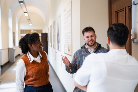
Broad engineering perspective on surveying
In the bachelor's degree programme in Surveying, we offer you a variety of exciting courses: Blue Engineering, Introduction to AI, Satellite Surveying, Railway Surveying, Network and Deformation Analysis, Real Estate Valuation and much more. We ensure that you are well prepared for the job market after your studies.
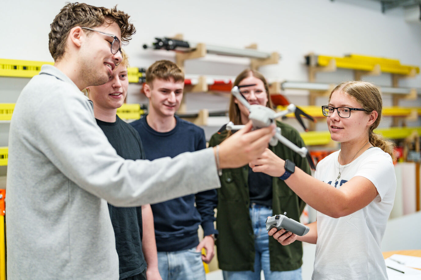
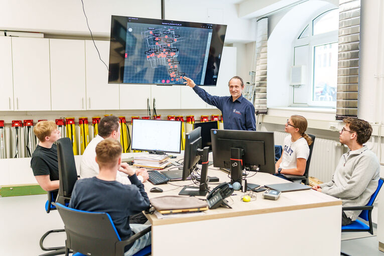
The programme focuses on engineering surveying and urban development. Our elective subjects also give you the opportunity to explore other fields of study, such as geotechnical engineering and the exciting field of Georesources and Post-Mining. Important: Our laboratory offers you every opportunity for practical learning.
Note: The degree programme has been further developed and is currently undergoing the accreditation process. A positive assessment has already been received from the ASIIN accreditation agency; the final decision by the Accreditation Council is still pending. We therefore reserve the right to make changes. The relevant ministry has approved the launch of the degree programme for the winter semester 2026/27.
We do not have a minimum grade requirement for bachelor's programmes, nor do we charge tuition fees. We only charge a semester fee, which includes the Deutschland-Ticket for public transport.
You can find all the information you need about enrolment and deadlines here.
Our ServicesWe support you